

Research and Knowledge
University collaboration, interdisciplinary research, conferences, educational partnerships, publications, and knowledge translation.
Planner · Researcher · GIS Specialist · Consultant
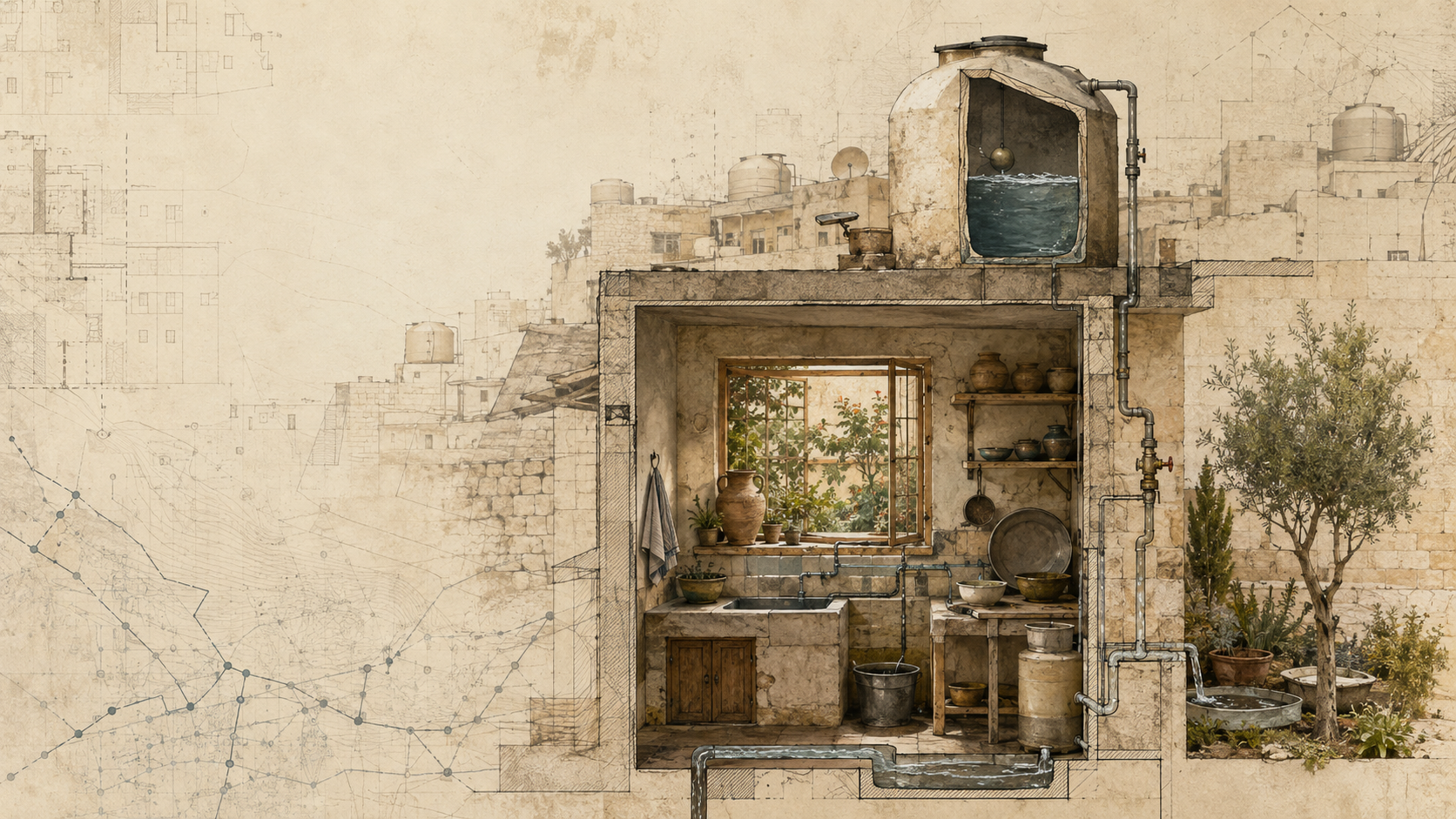
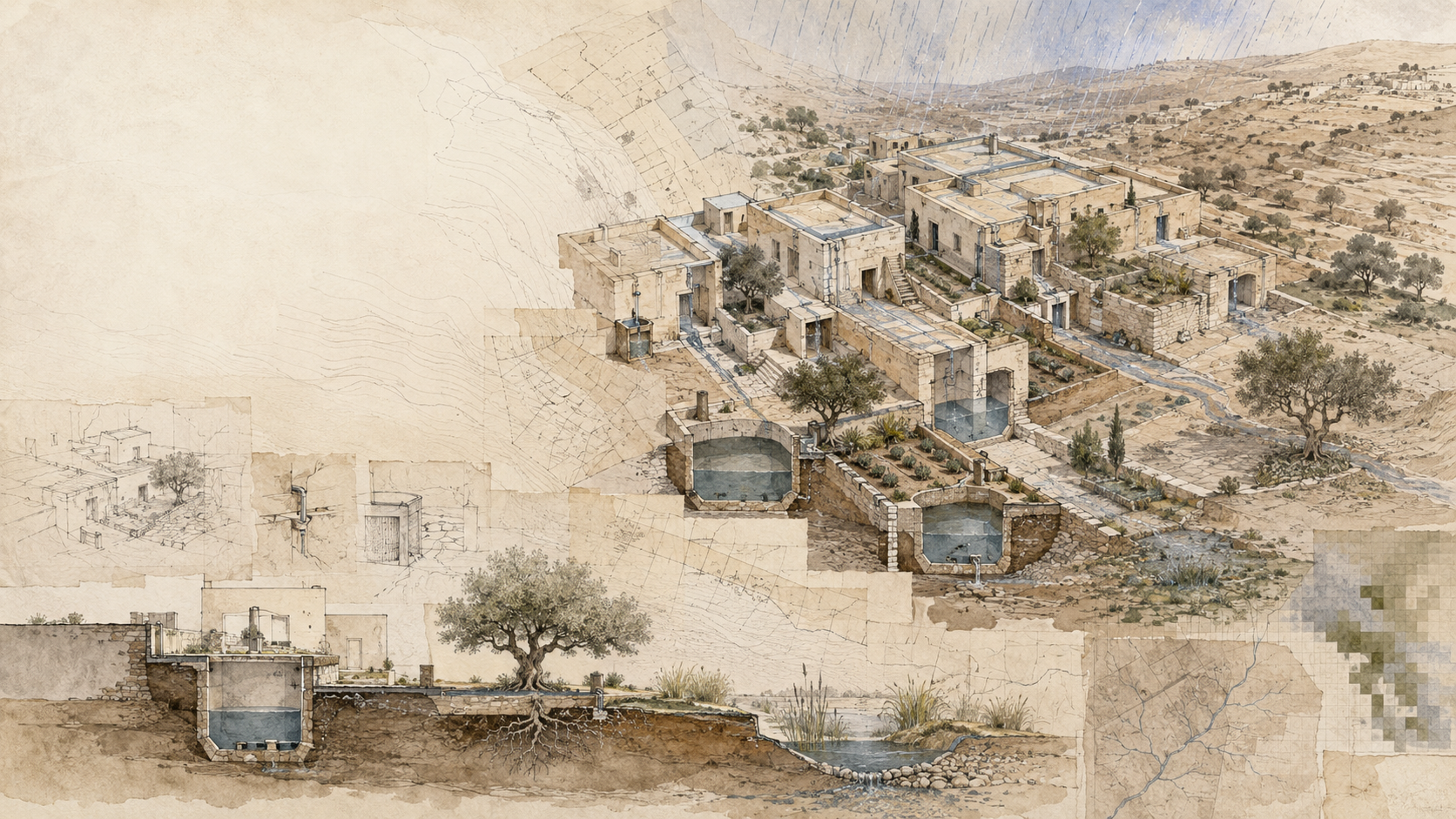
Understanding complex places through water, planning, nature, and spatial intelligence.
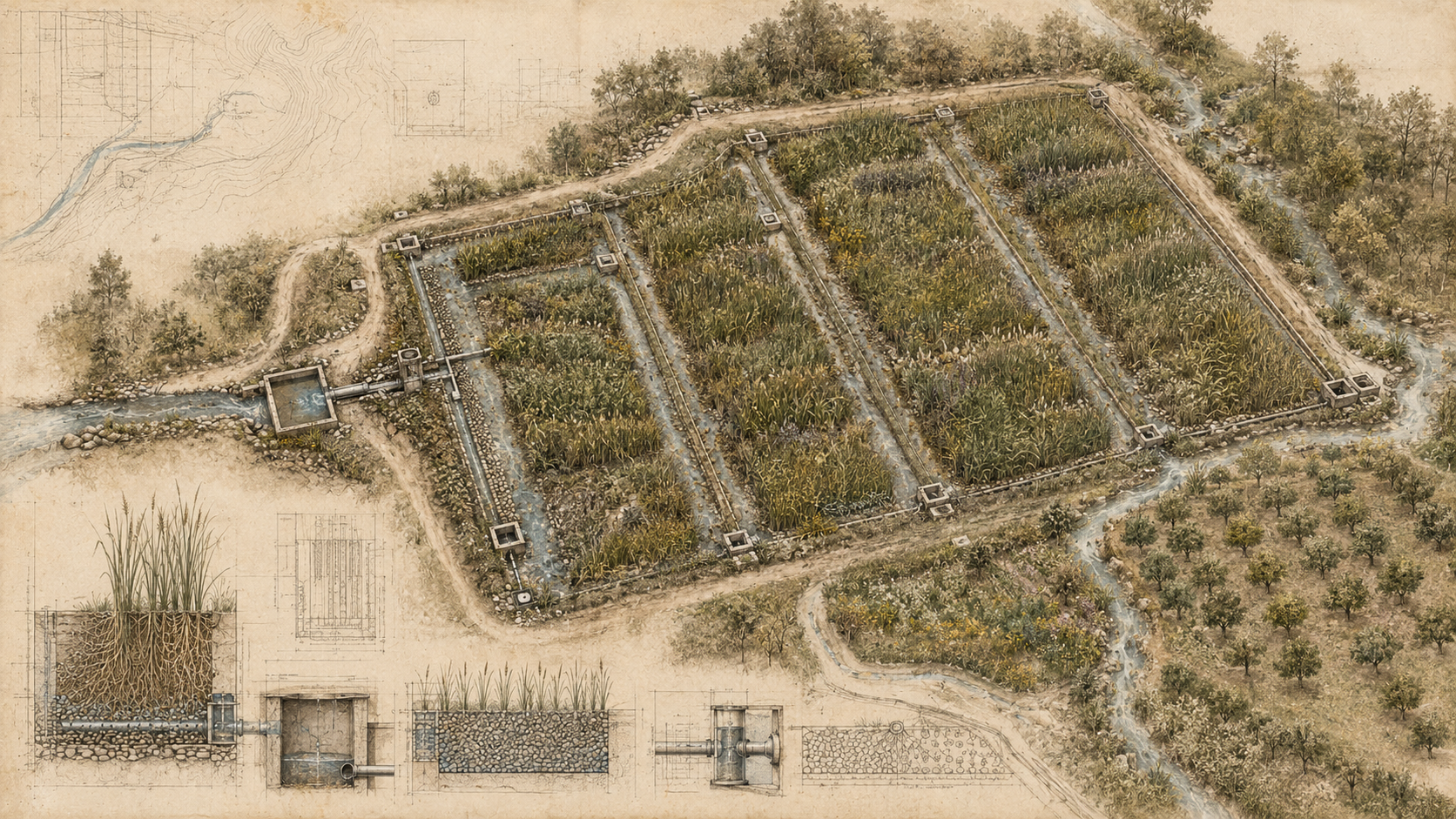
Research, advisory, GIS, and visual knowledge for cities, landscapes, institutions, and climate-resilient projects.
Featured Field Guides
Entries may be concepts, methods, case studies, historic lessons, projects, or field observations.
Field Collection
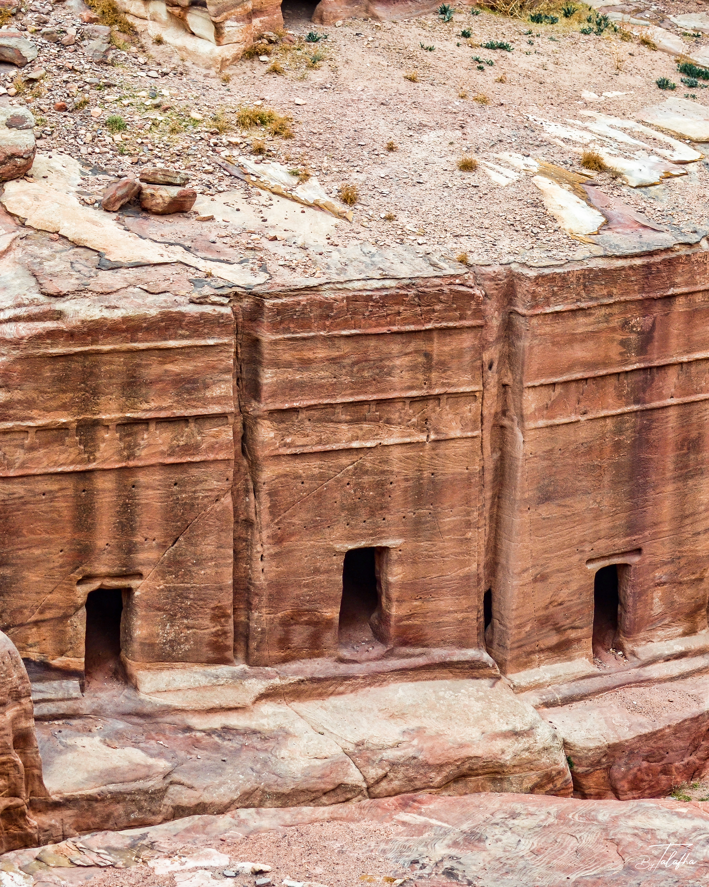
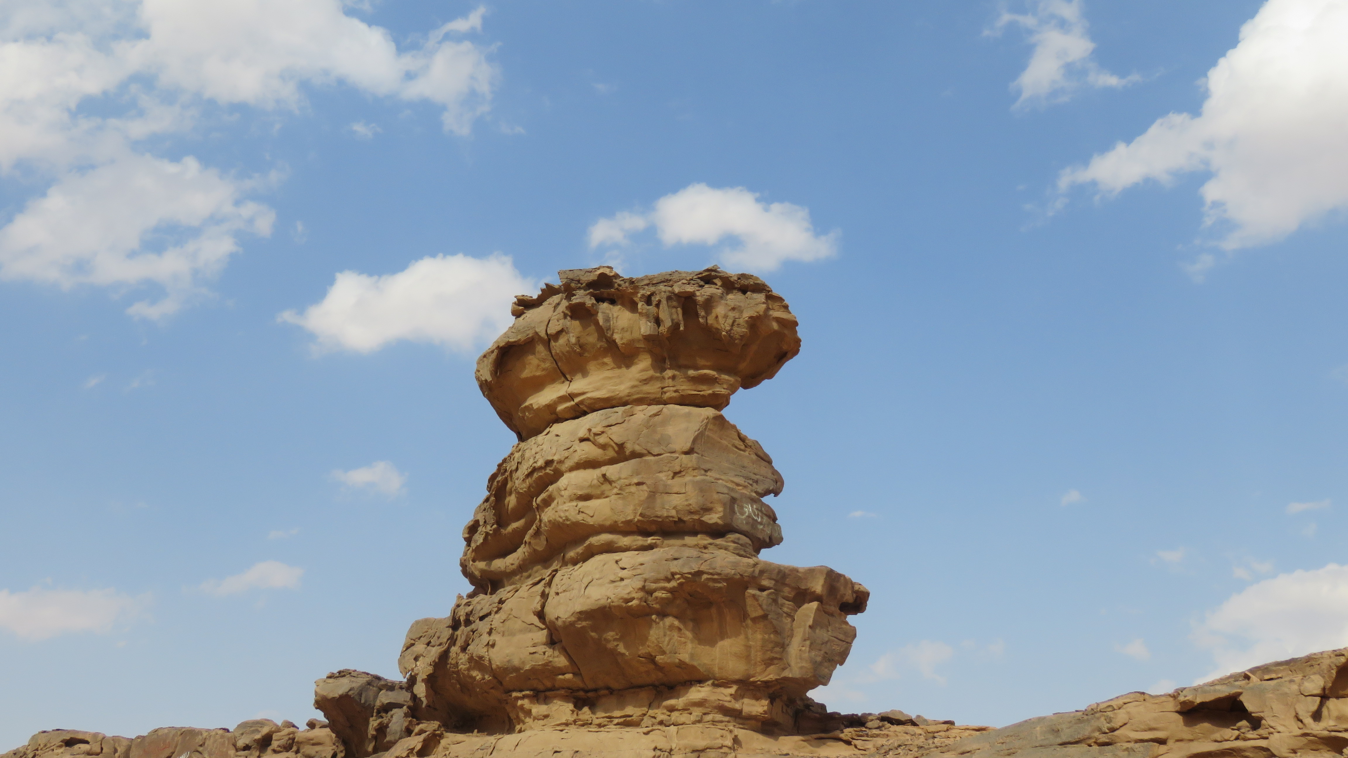
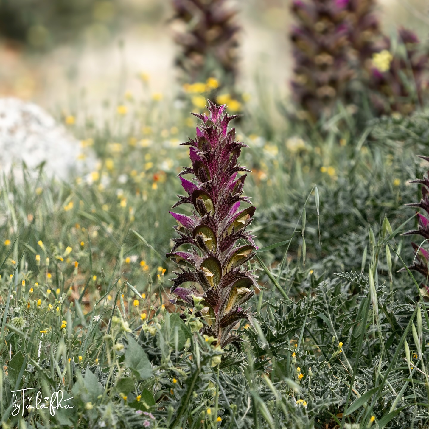
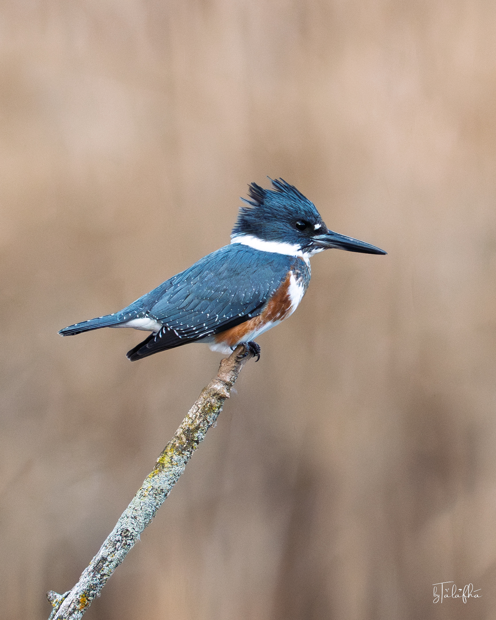
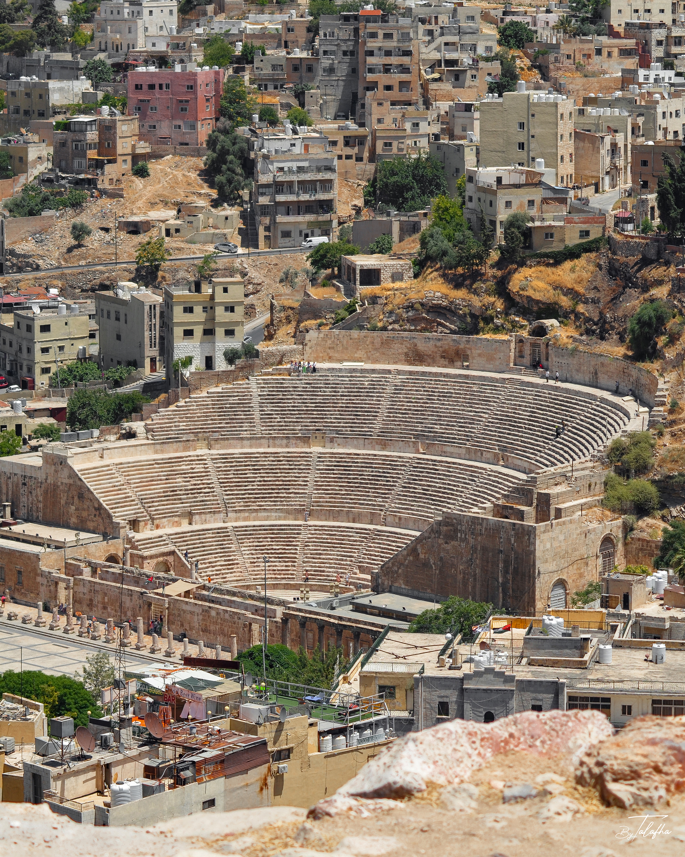
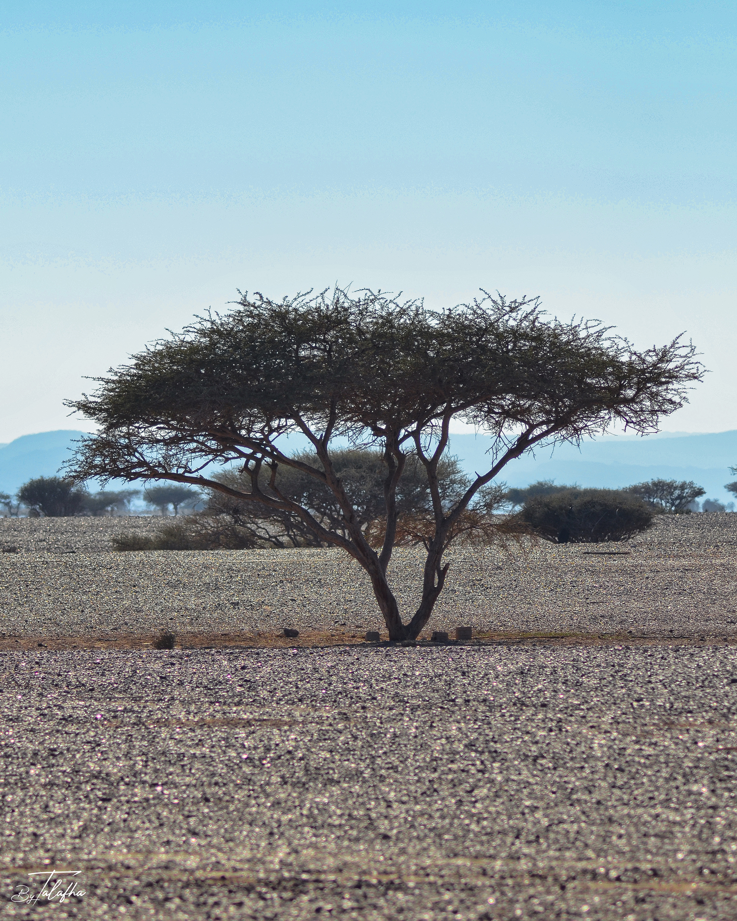
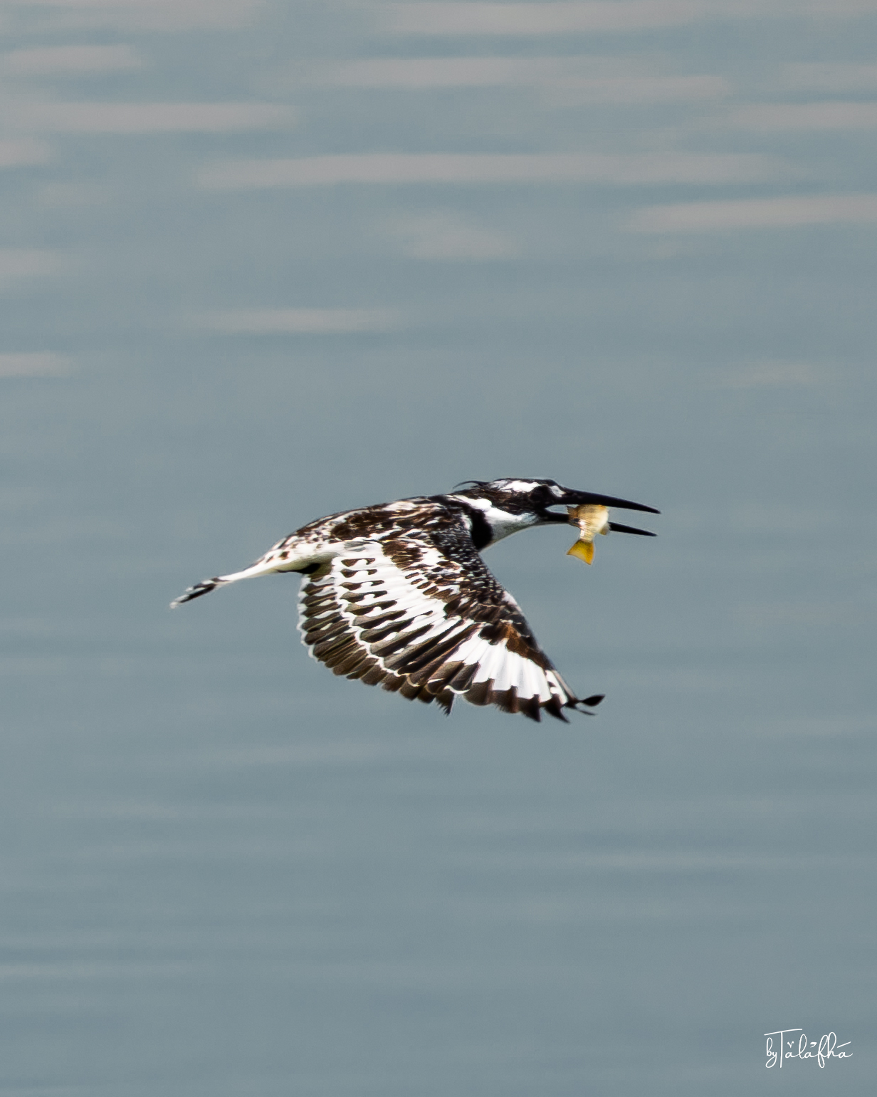
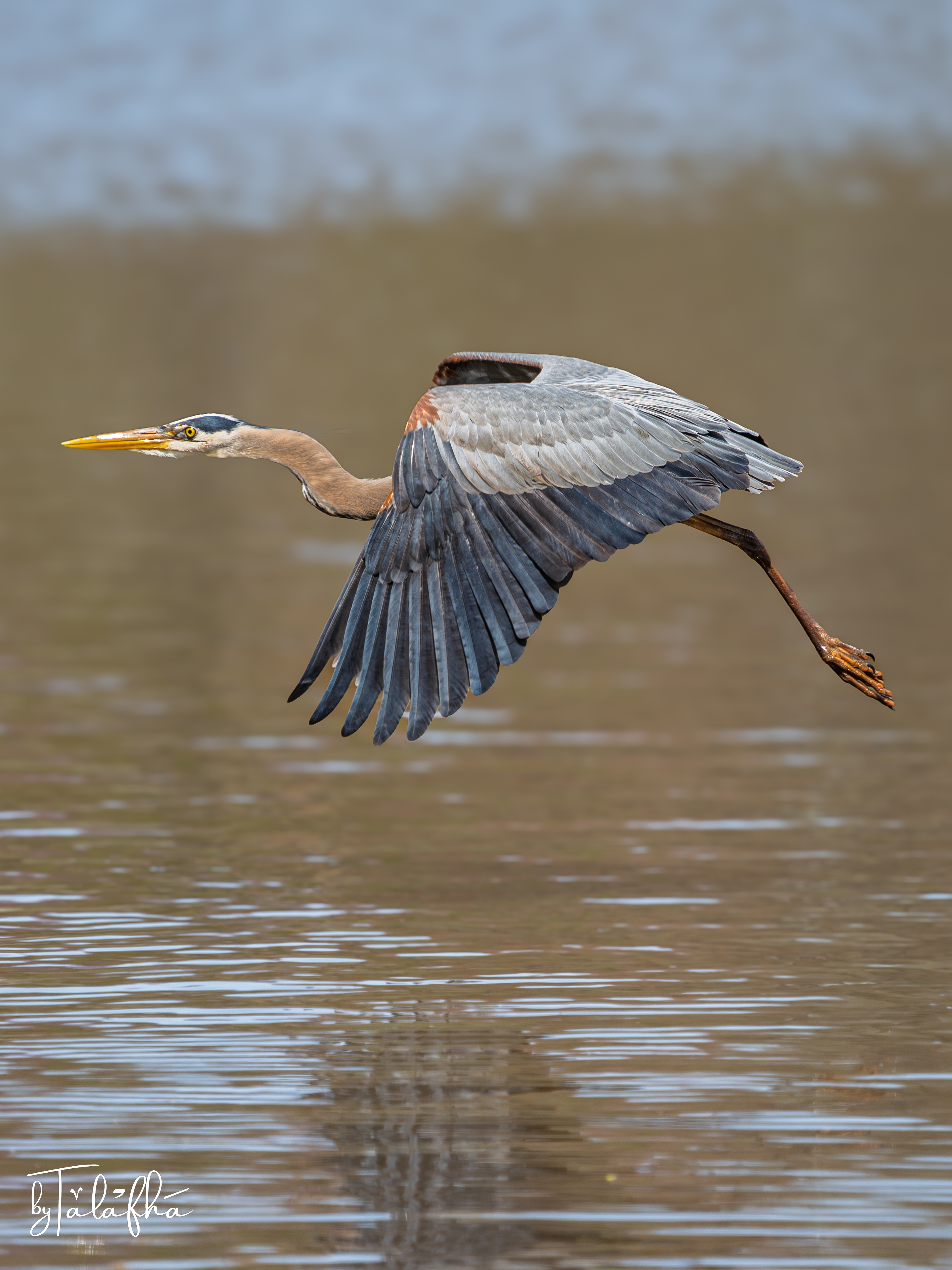
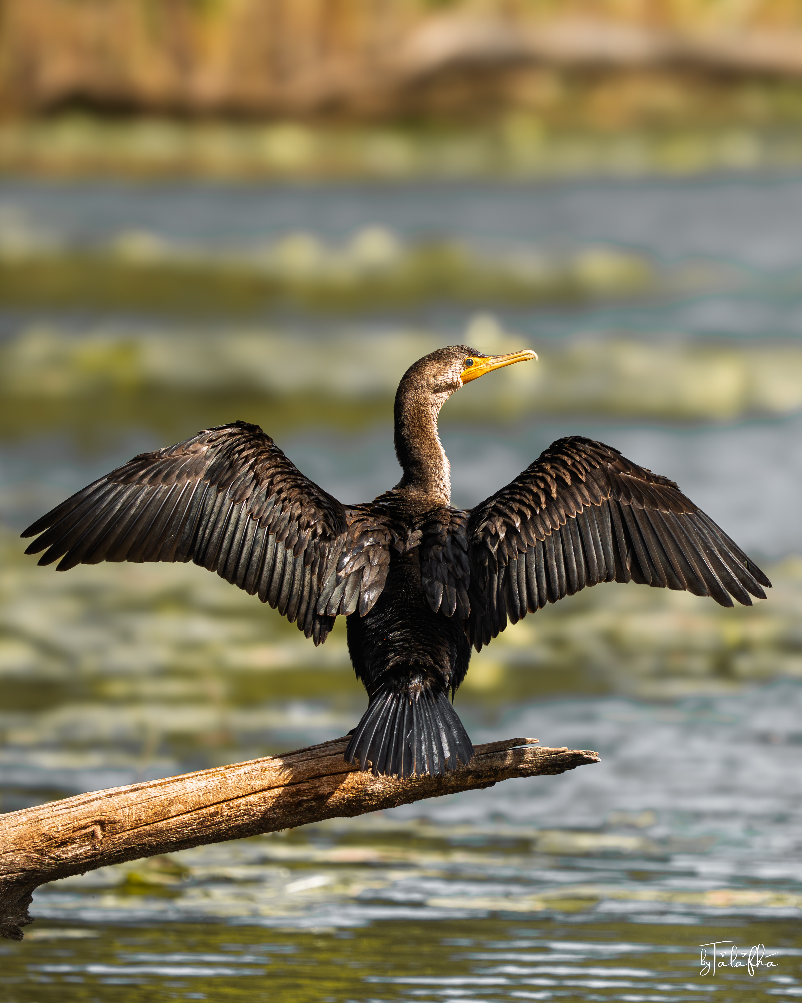
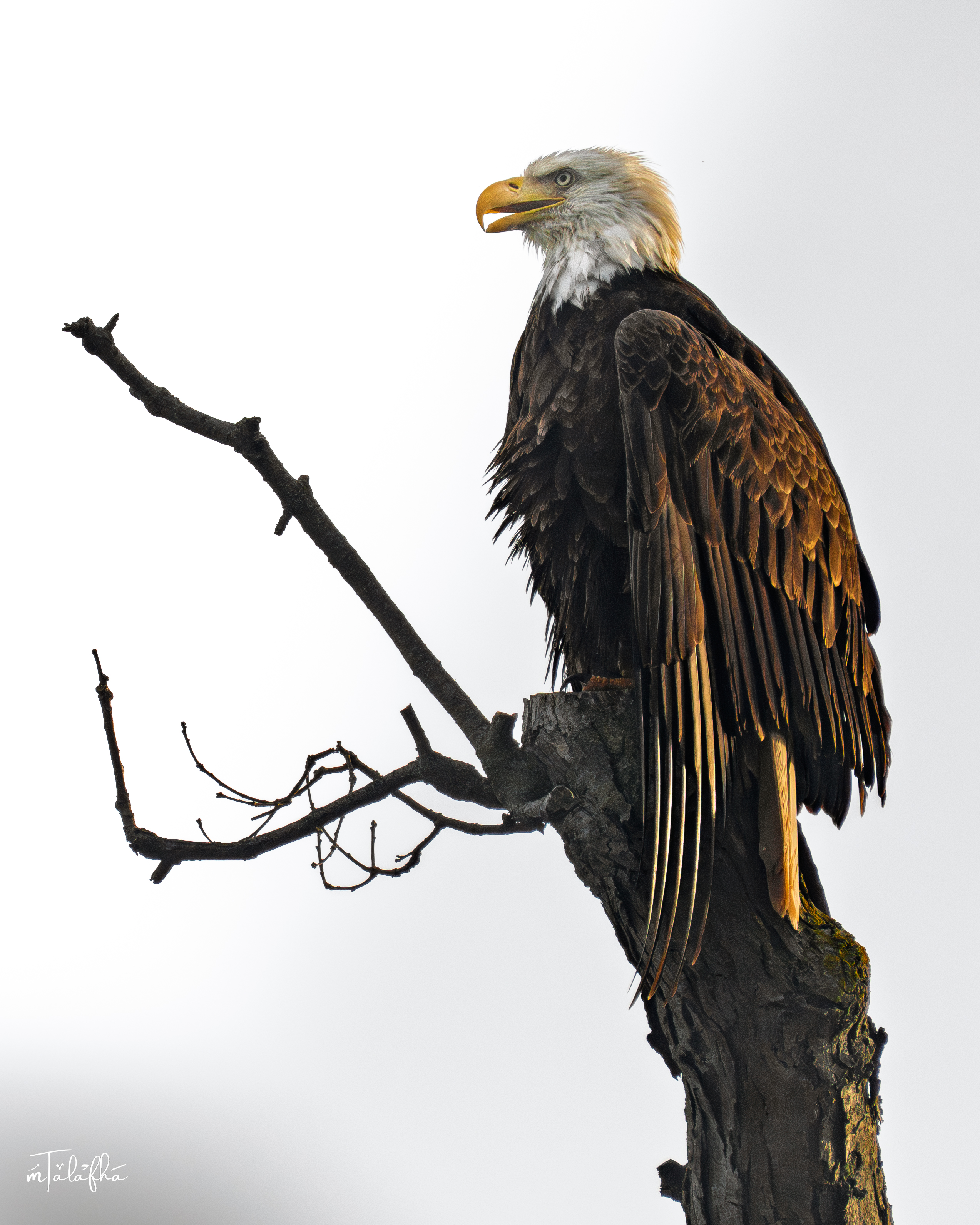
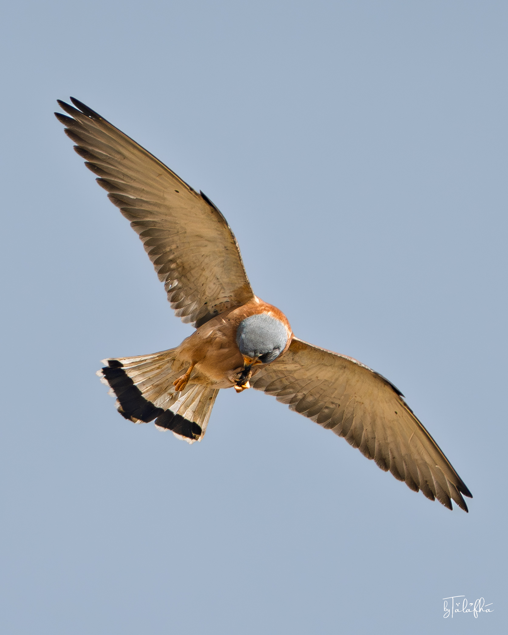
A growing visual record of birds, wildlife, plants, landscapes, water, heritage, and urban details—documented with names, locations, habitats, dates, and field notes where available.
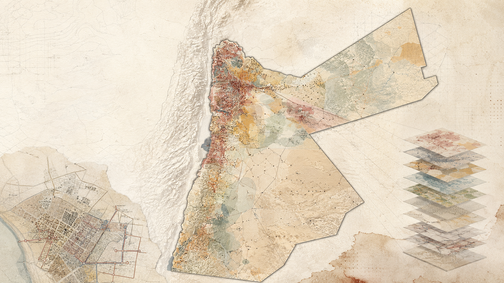
Spatial Knowledge Map
Explore geographically grounded articles, projects, heritage, biodiversity, photography, and field observations.
Concepts and methods without a meaningful location remain discoverable through themes, keywords, and search.
Loading spatial knowledge…
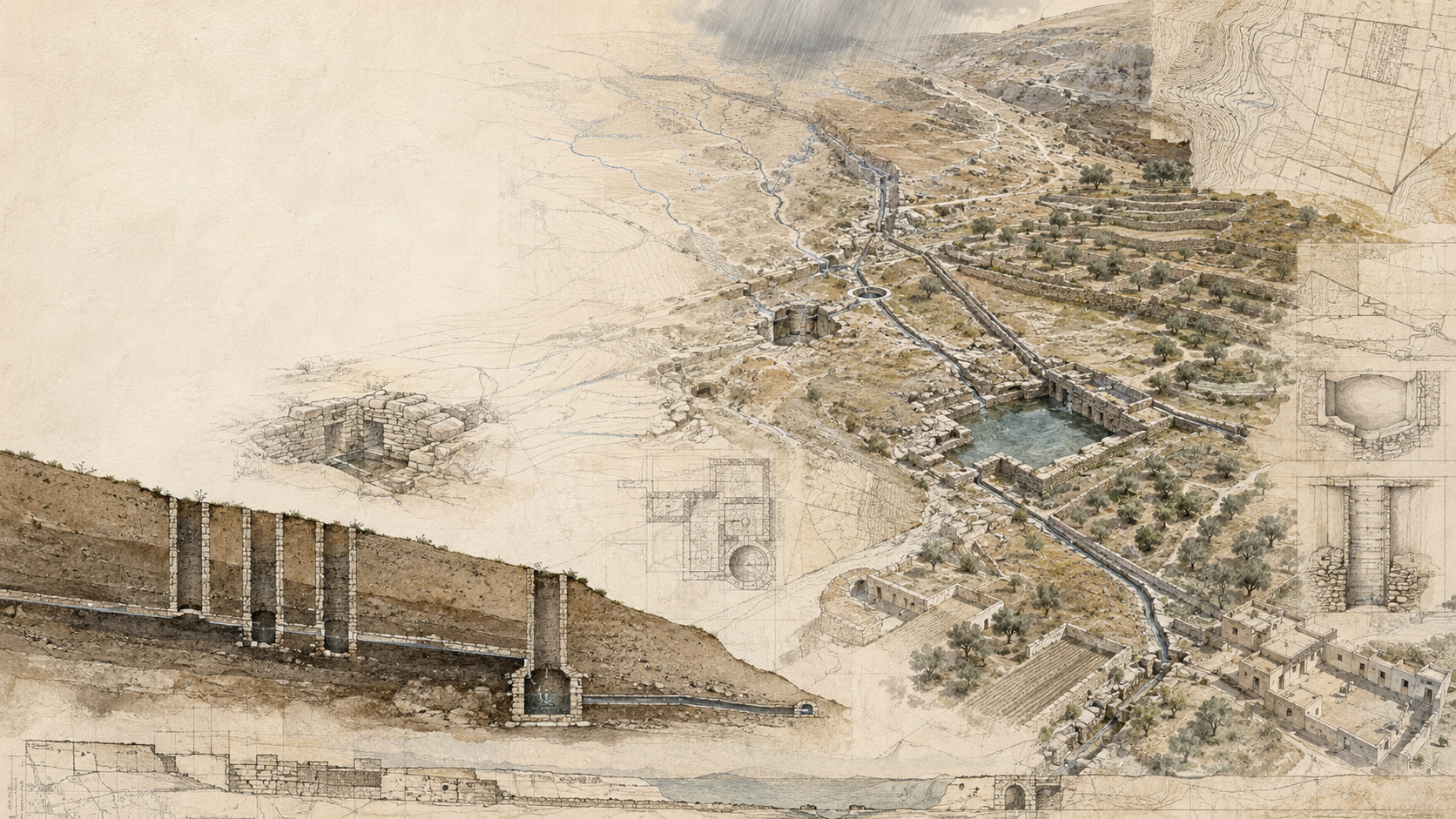
The Atlas connects articles, places, projects, species, photographs, heritage, and historic infrastructure—only when location adds meaning.
Open Interactive AtlasExplore the Four Worlds
Four connected lenses for finding knowledge without forcing everything into one format.
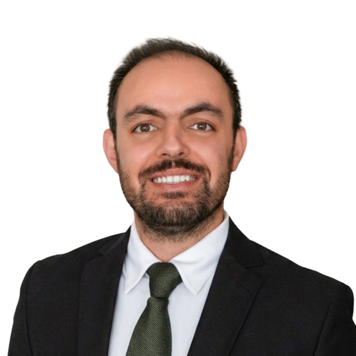
About Mohammad
A planner, researcher, GIS specialist, and field observer studying how water, landscapes, urban systems, institutions, and everyday practices shape places.
This platform brings together useful forms of knowledge that can be read, located, compared, questioned, and carried into practice.
Connect
For universities, UN agencies, NGOs, researchers, planners, educators, and teams working on meaningful place-based questions.
Start a conversation
Share a research question, collaboration, speaking invitation, planning challenge, or spatial storytelling idea.
Oakville, Ontario · Working internationally
University collaboration, interdisciplinary research, conferences, educational partnerships, publications, and knowledge translation.
Planning analysis, water-sensitive development, governance, climate adaptation, nature-based systems, and thoughtful advisory projects.
GIS, spatial research, map-based communication, geographic storytelling, and analytical tools that make complex systems visible.