cities
Cities are shaped by institutions, infrastructure, markets, households, conflict, care, and everyday negotiation.
This world examines the formal systems and ordinary practices through which urban life is continually planned and repaired.
Questions that organize this world
Start with the question.
- 01Who plans the city?
- 02How does infrastructure shape daily life?
- 03Who benefits from urban change?
- 04How do communities adapt when systems fail?
After sunset, asphalt, walls, roofs, and pavements begin returning the heat they absorbed during the day. A hot city does not simply cool. It remembers.
The Thermal Memory of a City: Why Heat Does Not End at Sunset
A short climate essay about nighttime urban heat and the thermal memory of the built environment. The piece follows the heat stored in streets and buildings through the evening, asks why warm nights matter biologically, and considers why adapting to hotter cities requires protecting the hours when bodies, buildings, and landscapes are supposed to recover.
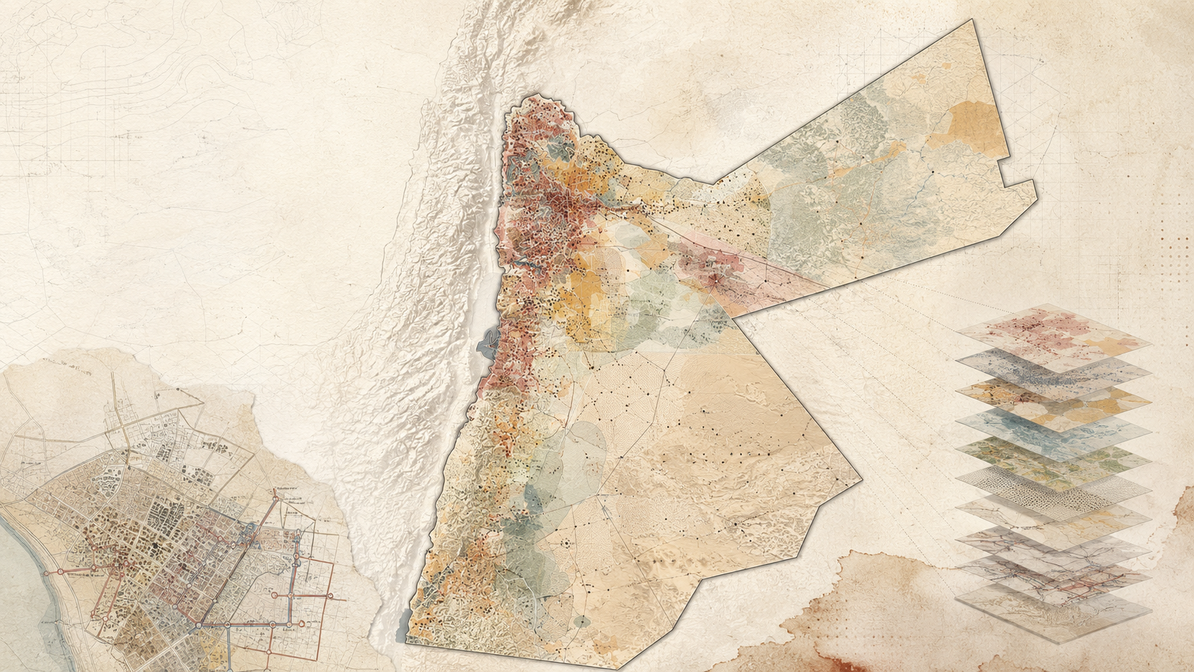
Read field guide →Where should sanitation investment go first? This research translated that question into a spatial decision-support framework by combining infrastructure, population, groundwater, land, rainfall, and other vulnerability indicators across Jordan.
Mapping Sanitation Vulnerability in Jordan
This research developed a GIS-based Sanitation Hotspot Index for Jordan to identify districts and neighborhoods with the greatest need for sanitation intervention. Using the Analytic Hierarchy Process, expert and stakeholder input, and multiple spatial datasets, the study combined ten criteria into a national vulnerability model. The resulting maps were designed to support sanitation planning, funding allocation, donor prioritization, and infrastructure investment.
Read field guide →A plan can show where things are. A section can show how ground, water, buildings, vegetation, infrastructure, and people actually meet.
Why Sections Reveal What Plans Hide
A Field Guide to the section drawing as a planning instrument rather than a presentation graphic. It explains how sections reveal vertical relationships that maps can flatten, how to choose meaningful transects, how to combine field observation with GIS and topographic data, and how sectional thinking can expose hydrological, ecological, infrastructural, and urban relationships before planning decisions are fixed.
Read field guide →Some of the most consequential planning decisions never appear in a planning department. They happen around kitchen tables, rooftop water tanks, laundry schedules, family routines, and conversations between neighbours.
Planning Happens in Kitchens
A reflection on everyday planning through the experience of intermittent water supply in Jordan. The article argues that households do more than cope with scarcity: they forecast, prioritize, coordinate, adapt, reuse, and learn. Drawing on insurgent planning, counter-conduct, democratic planning, and the changing role of the planner, it asks whether planning should focus less on inviting citizens into formal processes and more on recognizing the planning practices citizens have already created.
Read field guide →Shade is often treated as an amenity added after streets and public spaces are designed. In hot climates, it is closer to infrastructure: it shapes where people can walk, wait, gather, rest, and remain outdoors.
Shade as Urban Infrastructure
A Field Guide to reading shade as a spatial system rather than a decorative feature. It explains how solar exposure, street geometry, trees, arcades, canopies, surface materials, season, and time of day combine to shape outdoor comfort, and shows how planners can map and design shade networks across streets, transit stops, public spaces, and everyday walking routes.
Read field guide →A cistern is easy to see as a container. It becomes more useful when it is read as part of a small water system connecting catchment, rainfall, storage, demand, overflow, maintenance, and the surrounding landscape.
The Cistern as a Planning Unit
A field guide to reading rainwater cisterns as distributed water infrastructure rather than isolated tanks. It follows water from catchment to conveyance, storage, use, overflow, and maintenance, and shows how planners can map these relationships across buildings, sites, and neighborhoods.
Read field guide →Search this world
Related places
No public places are assigned to this world yet.
Field Collection
Connected Knowledge
Continue through the relationships surrounding this record.